Experts say that the rapid intensification of hurricanes has historically been a rare phenomenon, occurring in about 6 percent of all forecast time periods.
However, as the climate warms, more storms are going through rapid intensification – from tropical depressions or relatively weak tropical storms to major category 3 or higher hurricanes in a matter of 24 to 36 hours, stunning meteorologists and giving residents little time to prepare.
The Economic Times cites Hurricane Fiona and Hurricane Ian as good examples of this rapid intensification phenomenon.
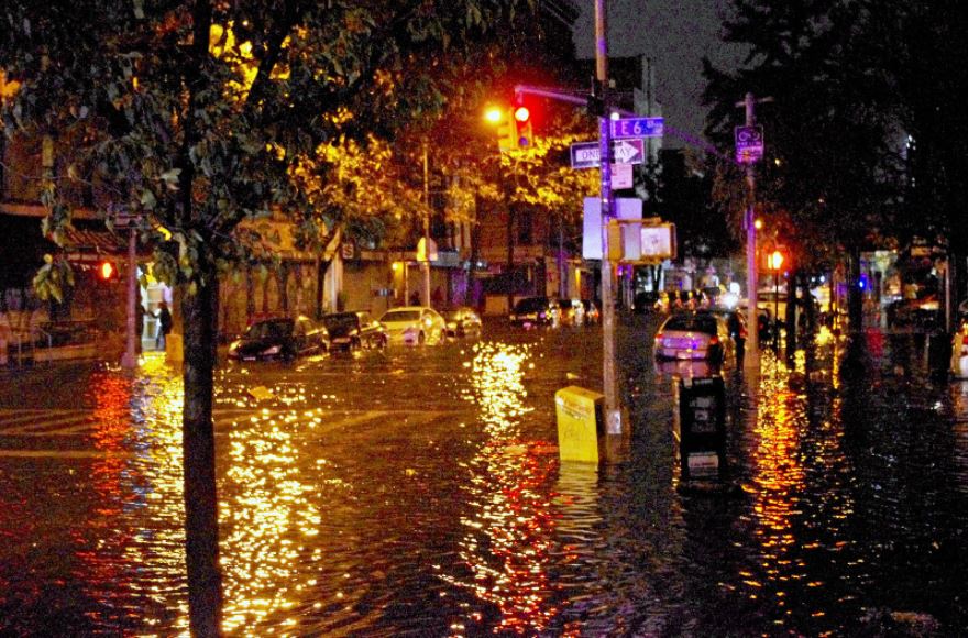
Ian follows Hurricane Fiona, a powerful Category 4 storm that carved a path of destruction last week through Puerto Rico. Fiona then barreled through the Turks and Caicos Islands, skirted Bermuda, and slammed into Canada’s Atlantic coast, where critical infrastructure might take months to repair.

Early on Friday Hurricane Ian was a tropical depression with heavy rain and winds of at least 36 mph. But on Sunday, Tropical Storm Ian, with winds of 45 mph began to undergo explosive intensification.
Ian’s winds were 80 mph late Monday morning, and more strengthening is in the forecast. Ian could intensify into at least a category 4 before it makes landfall in Florida midweek.
The phenomenon played out with breathtaking speed in the Philippines this weekend. Super Typhoon Noru exploded in strength on its final approach toward the Pacific island nation, going from the equivalent of a category 1 hurricane to a category 5 overnight as residents around Manila slept.
It seems that human-caused climate change is stacking the deck in favor of more intense storms. So not only are they generating more rainfall and larger storm surge – but they are also more likely to be stronger and are intensifying faster.
While scientists haven’t yet determined whether climate change influenced Fiona or Ian, there’s strong evidence that these devastating storms are getting worse. Let’s look at some facts.

Global warming – all that extra heat
First, over 90 percent of the excess heat from human-caused global warming over the past 50 years has been absorbed by the oceans. Since 1901, sea surface temperatures have risen an average of 0.14 degrees Fahrenheit per decade, according to data from the National Oceanic and Atmospheric Administration.
Because of climate change, hurricanes are wetter, windier, and altogether more intense. There is also evidence that it is causing storms to travel more slowly, meaning they can dump more water in one place.
“Climate change is increasing both the maximum intensity that these storms can achieve and the rate of intensification that can bring them to this maximum,” said Jim Kossin, a senior scientist at the Climate Service. “The intensification rates in Noru and Ian are good examples of very rapid intensification, and there have been many others recently.”

The winds intensify more rapidly
There are other conditions that affect hurricane development. One of those elements forecasters talk about is vertical wind shear. Vertical wind shear is the change in direction and speed of winds at increasing heights in the atmosphere.
When strong vertical wind shear is present, the top of a tropical storm or hurricane can be blown hundreds of miles downstream. In this case, the storm can become very lopsided or tilted in the vertical and begin to unwind as dry air is drawn in and/or the flow of warm, moist air into the entire storm is disrupted.
In a 2019 study published in Nature Scientific Reports, researchers found that warming temperatures may lead to weakening vertical wind shear, allowing hurricanes approaching the East Coast of the United States to intensify more rapidly.
When it comes down to the nitty-gritty, two things are essential for rapid intensification to occur, said Jim Kossin, a senior scientist at the Climate Service.
The first is that upper-level winds around the hurricane need to be weak – strong winds can prevent a storm from intensifying or even tear a storm apart.
The second is that warm ocean water must extend well below the surface, going hundreds of feet deep, to provide enough fuel for the hurricane to strengthen. And much of that warming has happened in the top levels of the ocean where hurricanes get their energy, said Jeff Masters, a meteorologist at Yale Climate Connections.
“Hurricanes and typhoons are heat engines, which means they take heat energy from the oceans and convert it to the kinetic energy that is winds,” Masters told CNN. “So if you increase the amount of heat energy in the ocean by warming it up, you’re going to increase not only the maximum intensity they can get – but also the rate at which they get to that maximum intensity.”