According to the 11:00 a.m. advisory from the National Hurricane Center, Hurricane Dorian is moving toward the northwest near 2 mph (4 kph), and a slightly faster motion toward the northwest or north-northwest is expected later today and tonight.
The Category 2 hurricane has sustained winds are near 110 mph (175 kph) with higher gusts. Dorian is expected to remain a powerful hurricane during the next couple of days. Hurricane-force winds extend outward for 60 miles (95 kilometers) from the center and tropical-storm-force winds extend outward up to 175 miles (280 kilometers).
So while things appear to be looking up for the east coast of the United States, there still is the catastrophic damage that was visited on the Bahamas for nearly 24 hours as Dorian came ashore as a Category 5 storm with winds of 185 mph and then stalled over the island nation.

To people watching the progress of Dorian, it seemed the excruciatingly slow movement of the storm was a never-ending nightmare. And many people wondered why this was happening. Well, believe it or not – there is an answer.
Steering currents and warming oceans
The movement of a hurricane is affected by a combination of factors, including the globes steering currents – These are winds in the atmosphere that govern the movement of smaller features embedded within it.
Many of the Atlantic hurricanes begin off the coast of Africa where they move westward towards the Caribbean Sea and the North American coasts with the help of steering currents.
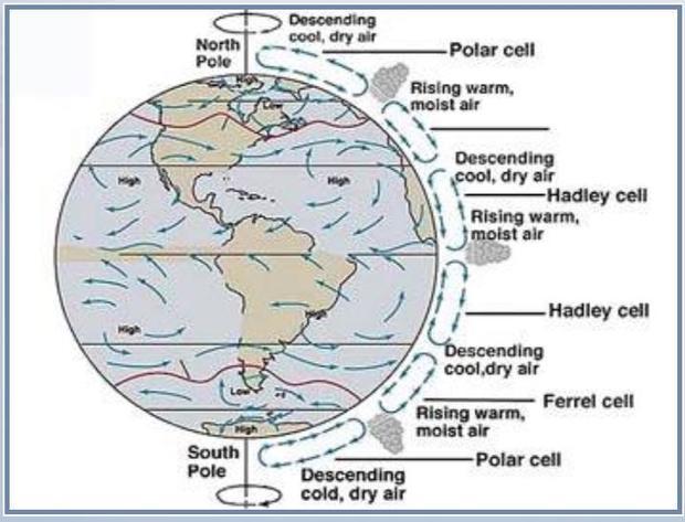
Embedded within the global winds are large-scale high and low-pressure systems. The clockwise rotation (in the Northern Hemisphere) of air associated with high-pressure systems often cause hurricanes to stray from their initially east-to-west movement and curve northward.
A hurricane drifts northwestward (in the Northern Hemisphere) due to a process called beta drift, which arises because the strength of the Coriolis force increases with latitude for a given wind speed. The Coriolis force is responsible for giving a cyclone its spin, and without it, tropical cyclones would not form.
Dorian’s particular stall
As for Dorian slowing down to a near-stop? This happened because a high-pressure ridge that was steering the storm westward has weakened. Basically, Dorian is waiting for some kind of steering current or external force before it starts moving quickly again.

“We’re kind of in a holding pattern. There’s nothing to steer it basically until Tuesday when it starts to get a nudge,” Lance Wood, a meteorologist at the National Weather Service, tells TIME. “It’s just stuck, there’s no large-scale wind moving it right now.”
Dorian is also to blame for the slowdown in forward movement. Hurricanes gain strength by feeding on the warm ocean waters. As the seawater is lifted up, it condenses and even freezes in the cooler upper atmosphere. That process releases heat, and in Dorian’s case, that heat has helped fuel a high-pressure system that’s slowing it down.
“All this hot air near the top of the atmosphere needs to go somewhere, and some of it has been moving north into the ridge over North Carolina,” Jack Sillin, a forecaster with weather.us, told Earther.
“This added heat has helped to strengthen the ridge, which is part of the reason why the storm hasn’t started moving north yet. Thankfully, this effect is very unlikely to change the storm’s track, and the center is still expected to remain east of the Florida coast.”

The future becomes a new normal
What we are seeing with Dorian may be the new normal for mega-storms, according to recent research conducted by NASA and National Oceanic and Atmospheric Administration scientists.
The researchers found evidence for an increase in the frequency of North American Tropical Cyclones stalling over coastal regions, as well as throughout the Atlantic basin. They also found an increase in annual-mean rainfall from stalling Tropical cyclones on the U.S. has risen significantly due to the increased stalling frequency.
They conclude that a positive trend in stall frequency and the possibility of increased rain may need to be taken into account in planning for future Tropical cyclone flood risk.
Climate change is also one possibility. Specifically, the researchers point to rapid warming in the Arctic and its impact on the jet stream—namely that it’s made the rapidly moving river of air more wavy and sluggish, upending a major weather driver—as one potential reason. This assumption is still under study.


