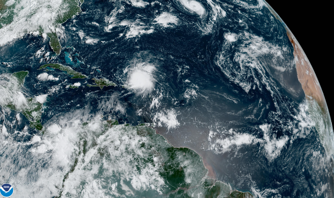
Hot on the heels of Hurricane Danielle, Earl has formed near the Caribbean Sea and may become the next hurricane in the Atlantic.
While Hurricane Danielle is wandering around the open north-central Atlantic, the National Hurricane Center is forecasting Tropical Storm Earl to pass the Virgin Islands and Puerto Rico Sunday before becoming a hurricane later this week,
Puerto Rico could see rapid rises in rivers from the drenching rains and associated mudslides. As of 5:00 a.m. ET, Earl was located about 75 miles north of St. Thomas, moving west-northwest at 8 mph with its winds maintaining their 85 kph (50 mph) maximum.
AccuWeather forecasters say Earl will remain a tropical storm through the weekend and into early this week, gaining a bit of strength over that time. Earl is expected to then gain hurricane strength as it speeds away, passing southeast of Bermuda and into the open Atlantic Ocean.

“Though the center of Earl will remain northeast of the Caribbean Islands, rain and wind will move westward from the northern Leeward Islands through Puerto Rico into Sunday night,” AccuWeather Senior Meteorologist Alan Reppert said.
Watch out for Hurricane Danielle
Let’s talk about Hurricane Danielle for a few minutes. While Danielle has moved very little over the past few hours, the NHC does expect Danielle to begin a slow-motion move toward the north today.
After becoming a category 1 hurricane on Friday, Danielle then fell back to tropical storm strength on Saturday, it once again strengthened into a hurricane Saturday night.

A slightly faster northeasterly motion is forecast to begin tonight and continue for several days. Maximum sustained winds are now at 120 kph (75 mph) with higher gusts.
This hurricane is expected to see some strengthening through Monday before the storm meets more hostile conditions for development.


