Scientists based at Penn State University have collected data from recent next-generation satellites to use in a numerical weather-prediction model. The model has improved the ability for meteorologists in relation to tornadic thunderstorm forecasting and in providing guidance to governments, businesses and members of the public.
The focus of the work was on the U.S. Thunderstorms account for 40 percent of all severe weather events in the U.S., causing 14 percent of damage and 17 percent of related deaths. In 2018 (up to the start of October), there were eleven weather and climate disaster events with losses exceeding $1 billion each. The aim of the research is to increase the warning time for tornadoes, which is currently averaging at 14 minutes.
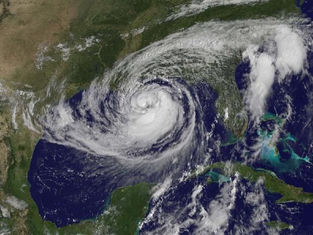
The satellite system used was GOES-16, which has recently become fully operational. This is the first of the GOES-R series of Geostationary Operational Environmental Satellite (GOES) operated by NASA and the National Oceanic and Atmospheric Administration (NOAA).
While the satellite has been gathering voluminous amounts of data, but methods for assessing the data in meaningful ways did not exit. The new approach used was a technique for all-sky infrared radiance, which looks at brightness temperature. By showing how much radiation is emitted by objects on Earth and in the atmosphere at different infrared frequencies, better extreme weather predictions can be made. This method incorporates data into various models to assess weather events in the U.S. Midwest.
To test out the predictive power of the models, the researchers ran the models after a weather event had occurred and then compared the outcome of the model with actual events – a process referred to as hindcasting.
The results showed that the analytical process was able to forecast supercell thunderstorms with atmospheric conditions. These weather phenomena that are very conducive to tornadoes. A supercell is a thunderstorm characterized by the presence of a mesocyclone: a deep, persistently rotating updraft. The supercell is the most dangerous because of the extreme weather generated.
Commenting on the study, lead author Professor Fuqing Zhang said: “It’s not just the data that’s important. It’s how we design very sophisticated numerical mathematical algorithms to ingest that satellite data into the model.”
He adds: “This is really our expertise and our pride. Our team is the first to be able to effectively take in this high resolution satellite data and prove it can be useful in real-case scenarios.”
The findings have been published in the journal Monthly Weather Review, with the research paper titled “Assimilating All-Sky Infrared Radiances from GOES-16 ABI Using an Ensemble Kalman Filter for Convection-Allowing Severe Thunderstorms Prediction.”


